Warren County releases updated trail maps for eight parks, encourages spring exploration
WARREN COUNTY, NJ – The Warren County Planning Department and Land Preservation Department have released updated trail maps for eight county parks.
The Warren County Park System now encompasses more than 2,900 acres, with over 21 miles of marked trails maintained for passive outdoor recreation.
The county’s three Natural Resource Areas—Marble Hill, Oxford Mountain, and White Lake—account for approximately 1,698 acres and feature just over 11 miles of trails. Hunting is permitted in these areas by permit. The White Lake Natural Resource Area also includes a 69-acre spring-fed lake where fishing and paddling are allowed.

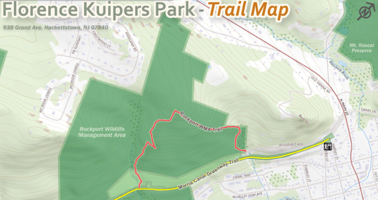
In addition, Warren County maintains six parks along the Morris Canal Greenway—Lock Street, Port Warren, Bread Lock, Port Murray, Florence Kuipers, and Mount Rascal. Together, these sites span more than 740 acres and offer over 10 miles of trails. Warren County has preserved the largest portions of the Morris Canal in New Jersey and has been a leader in protecting the historic canal since the 1980s.
“We’re excited to release these updated trail maps so that visitors can better navigate and enjoy our wonderful parks,” said Corey Tierney, Warren County Preservation Director. “Many thanks to the Warren County Planning Department for working with us on this project. We look forward to updating our various brochures and kiosks this season with these new maps. With warmer spring weather on its way, we encourage our residents to get outside and explore the many natural and historical treasures our county has to offer.”
“We are pleased to work with Land Preservation by providing mapping services to help our residents better explore the county’s splendid parks, trails, and heritage areas,” added Planning Director David Dech. “The updated maps show each site’s topography and the location of parking areas, available restrooms, and information kiosks to better inform visitors of what each site offers. We look forward to assisting the Land Preservation Department in the development of future maps as more county parks are acquired.”